Ephemera
British Institutions in Smyrna
The ownership of real estate by Levantines was never a straightforward issue by Levantines and their associations even after the Ottoman laws allowed foreigners to own their properly in 1867. Ottoman / Turkish law doesn’t allow institutions to be the title deed owner, so it has to be a person and when that person dies or emigrates and cannot be traced and there has been no legal process to transfer the property, problems arise and many are still current today, whether domestic dwellings, churches, cemeteries etc.
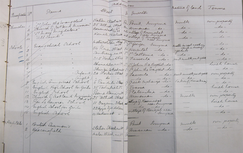
The list below includes Institutional property that can be described as British and those where there might be a British interest to preserve it, such as a hospital, or where that minority community has asked for the British Government to act as a guarantor. Land and real estate can be confiscated by the state, so it was clearly important for the consul of Smyrna and the British Ambassador in Constantinople to devote time and energy on this matter and the listing below gives a snap-shot of what the British Government felt were British Insitutional properties. No doubt the official authorities from the past and present would disagree with this list and it is also a reflection of the relative powers in the age of imperial rivalry and at the time the British were able to exert considerable influence and soft-power on the Ottomans and the various Levantine communities they considered their own, such as the Maltese, Cypriots, Ionian Islanders etc. Today the British community of Izmir retains just the 2 churches where services are still regularly held. Much was lost in the Great Fire of Smyrna of 1922.
The most valuable part of this document is that it provides the addresses for all the various schools, almost all of which were lost in the Great fire. Those schools were for the most part private initiatives by Levantines providing education to mostly Greek pupils, as an English education as in today, is considered of prime importance for future trade prospects and a wider world view. The ‘nature of land’ and ‘tenure’ columns also provides extra information on the degree of legal security of these properties, and there seems to be an attempt to bring purely Greek institutions (Evangelical School) on the bigger cover of the British Government for their longer-term survival, as clearly that country had a bigger clout.
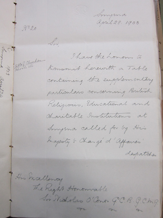
Smyrna, April 28, 1903
Sir,
I have the honour to transmit herewith a Table containing the supplementary particulars concerning British Religious, Educational and Charitable Institutions at Smyrna called by the His Majesty’s Charge d’Affaires’ despatches.
His Excellency
The Right Honorable
Sir Nicholas O’Conor G.C.B.G.C.M.G. (info)
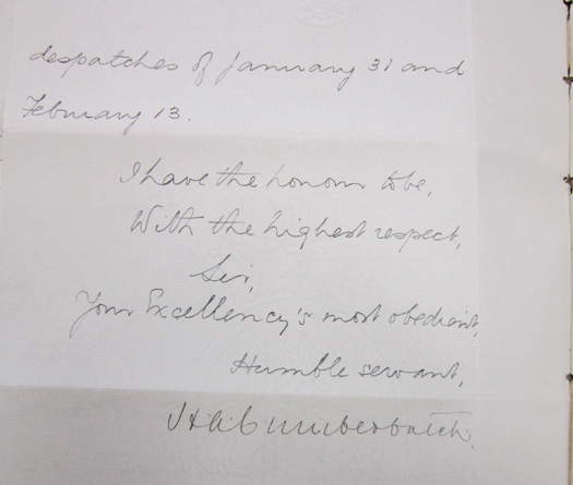
despatches of January 31 and February 13.
I have the honour to be, with the highest respect,
Sir,
Your Excellency’s most obedient,
Humble servant,
H A Cumberbatch (info)
Listing of real estates:
St John the Evangelist
Church of Scotland Mission
St Mary Magdalene
All Saints
Evangelical School (8 branches) - These Greek schools were dependencies of the Evangelical School near St. Photini, which was under British protection.
English Commercial School (Barkshire)
English High School for Girls
English School - this school and above were in rue Trassa near Fassula (girls) and in Psomalani near Hadji-Frangou (boys).
Church of Scotland Mission School - school of the Scottish mission (church #2) in the Armenian neighborhood near Basmahane.
Rev. Le Bouvier School (Bournabat)
English School for Girls (Bournabat)
English School (Boudjah)
British Seaman’s
Beaconsfield - info:
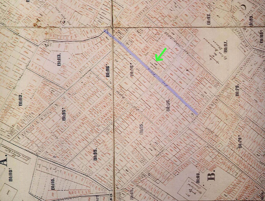

British consular report dated 1903 (archival file number: FO 195/ 2158) enumerating all the perceived British possessions in the Smyrna at the time. The addresses help pin-point localities, however it has to be remembered that some institutions both changed hands and location, so the Scotch Mission is shown as Rue de Fethieh in Basmane/ Haynots, and not in the Rue de Meles, as it is shown in other sources. The map pinpoints the spot not too far from the main Armenian Church.
Additional map analysis: