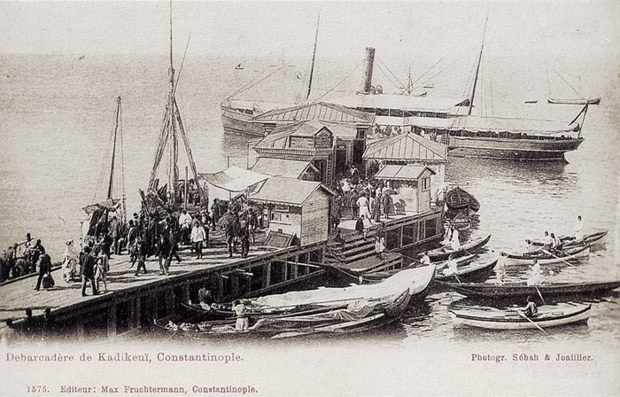
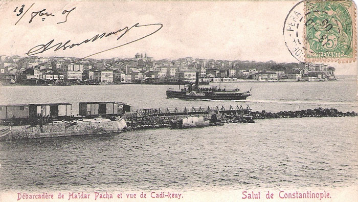
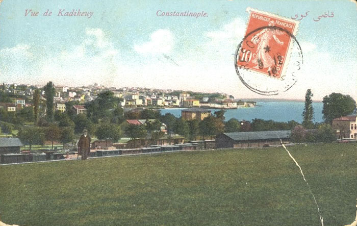
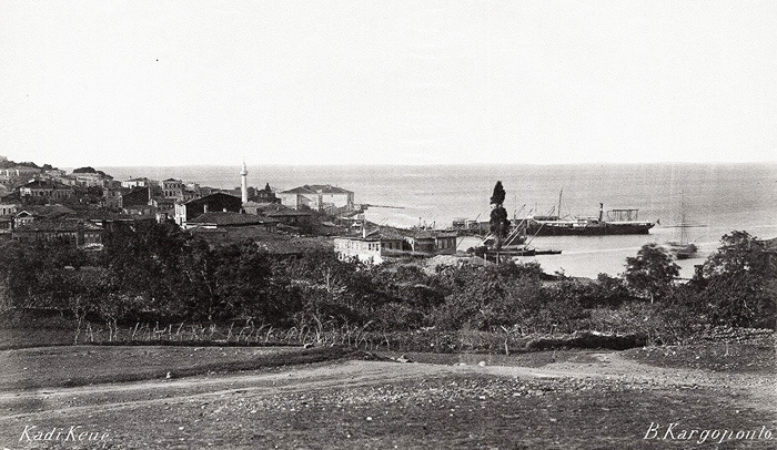
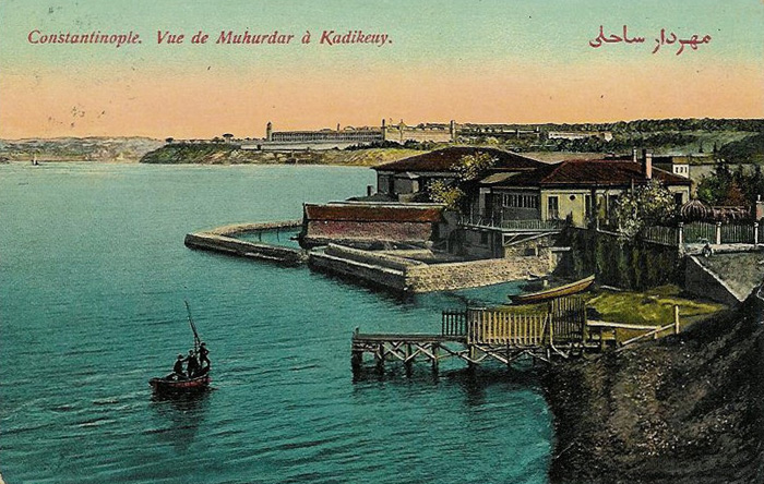
The environs of Kadıköy - Haidarpaşa seafront around the turn of the century.
 |
 |
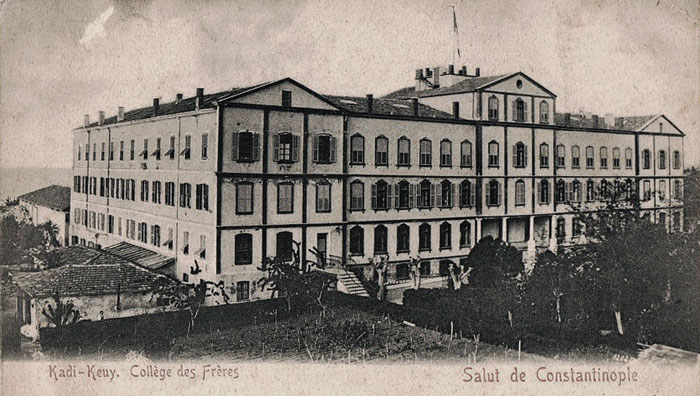 |
Click for more images of this institution.
 |
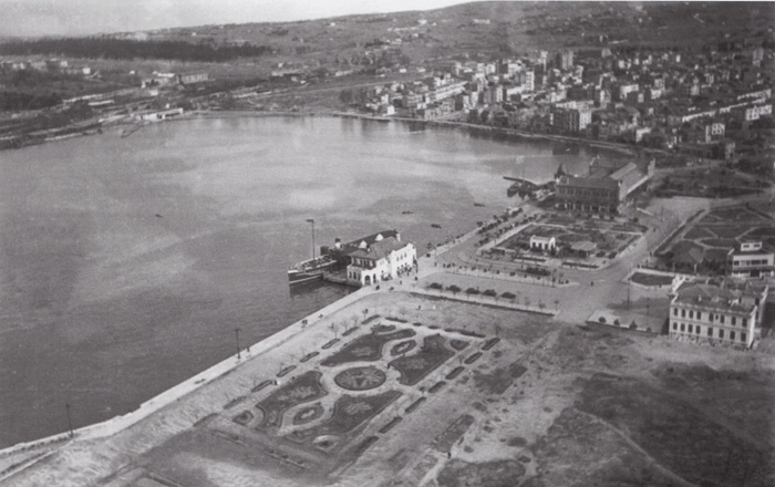 |
Aerial view of Kadıköy shoreline.
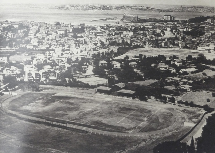 |
Aerial view of the former ‘Union Club Field’ during the 1930s, inland from Moda, where the first football games were played from 1908 onwards. In 1932 it was converted and re-christened to Fenerbahçe Stadium, which it is still today.
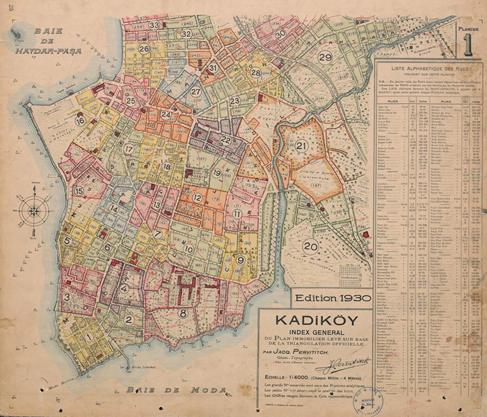 |
An insurance map from 1930 showing the location of this football field (plot 137 within section 21) with the ‘Papaz Bahçesi’ [Priest Field] to the immediate east, and to the South-West along the Moda side of the brook, ‘Yoğurtçeşme Çayırı’ that were both also used in former times by Levantines for their football - click image for full size.
 |
 |
 |
 |
 |
 |
 |
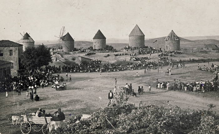 |
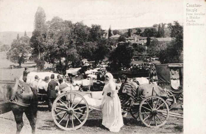
Hidrellez, the Turkish spring festival with pagan origins being celebrated in the hinterland of the Kadikoy.
 |
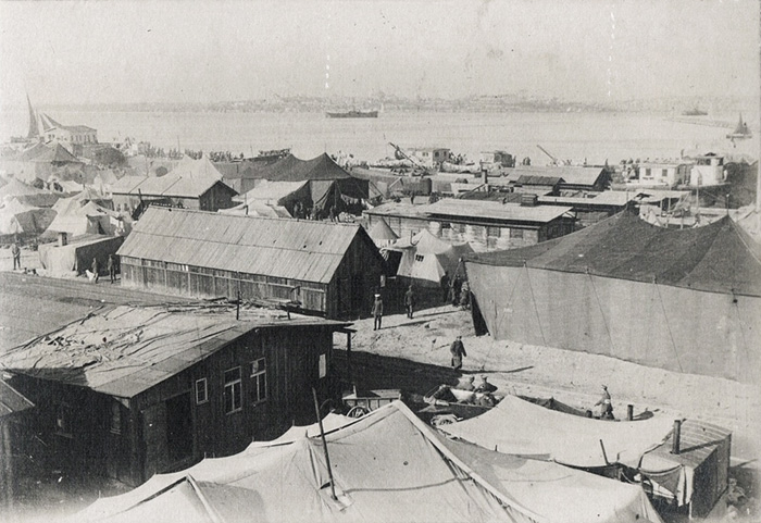 |
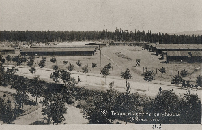
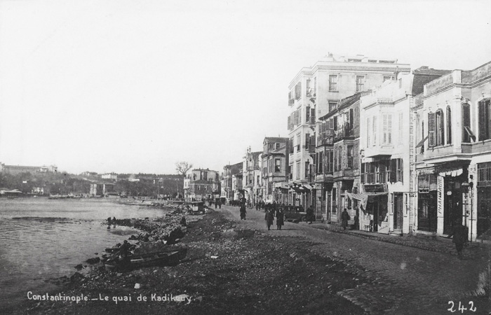
Two views of the German Military camp of Haydarpasha during WWI.
 |
 |
Click for views of neighbouring districts of Haydarpasa | Haydarpasa British cemetery | Moda | Bebek | Büyükdere | Rumeli Hissar | Tarabya | Candilli | Fındıklı | St. Stephano | Scutari