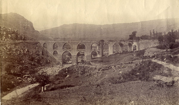
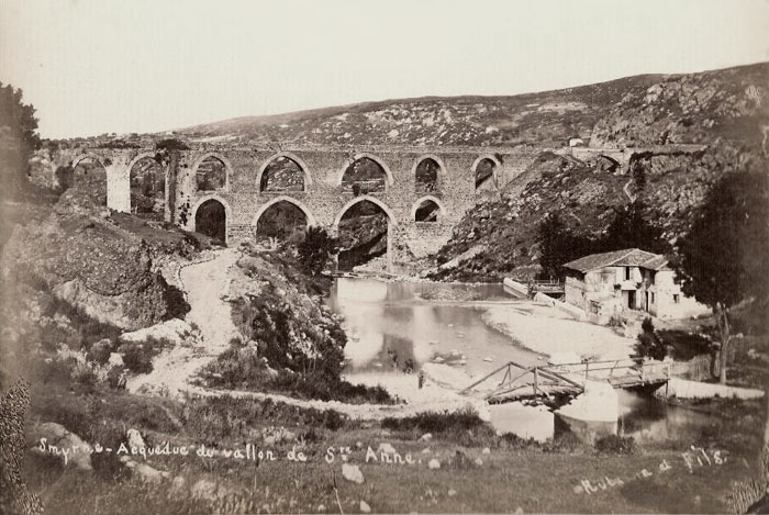
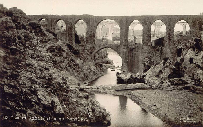
Roman aqueduct
over St Anne’s valley [Yeşildere]
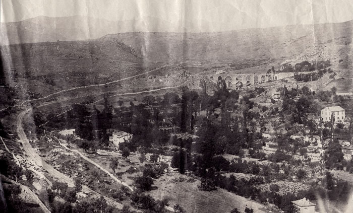 |
A series of
the unmarked photos of Brian de Jongh (possibly inherited from an earlier generation) showing a pastoral scene in the neighbourhood
of Yeşildere, viewed from the little Paradise [Kızılçullu]
end, with the city centre being about 2 km away.
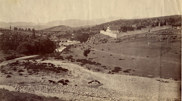 |
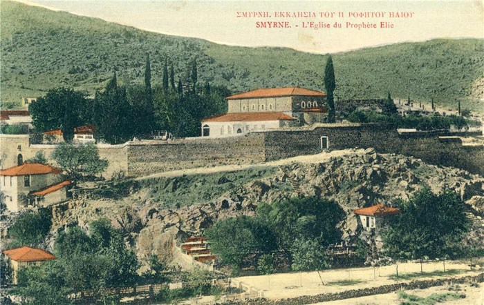
The same valley viewed slightly higher up, showing an enclosed building, possibly a church / monastery. This appears to be
‘the Church of Prophet Elia’ as indicated by the postcard view below.
 |
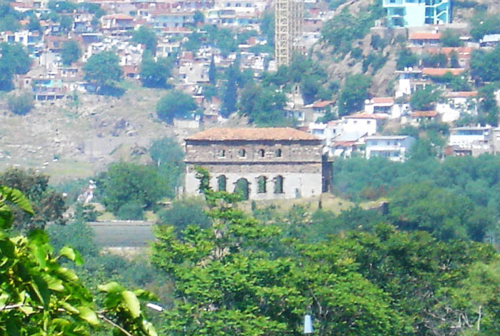 |
The remains of this church standing today in a military zone, photographed 2008 - alternative views - click here for views of other former Orthodox churches of the city.
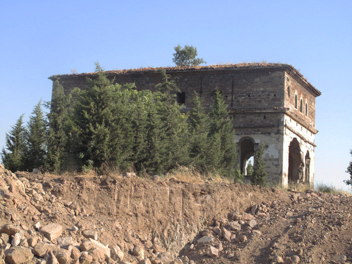 |
The same building being encroached by a road widening scheme in June 2013, putting its future in danger.
 |
The scene
today is totally altered, the nearby road is now a major through road to
the airport and beyond, the valley is now a closed military zone enclosing
the ruined Greek church, the aqueduct is mostly intact and the hillsides are
mostly covered in shanty dwellings. The Levantine / Greek names indicated
for these locations would not be known by any of the present locals. Another
close view taken by the prolific local photographer, Rubellin is viewable
below
 |
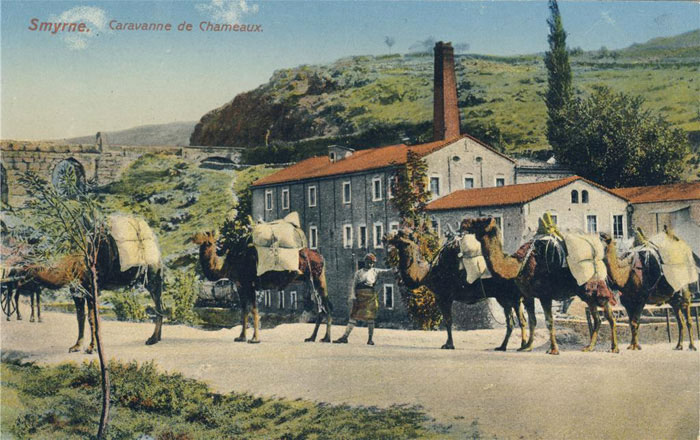 |
A rear view
of the same aqueduct in a postcard showing a floor mill, possibly a Levantine
venture utilising the water power here. Below a postcard view of the upper
set of aqueducts at Kızılçullu, still standing
today, in a slightly worse condition, next to the grounds of a Nato ‘motor
pool’, formerly the International College grounds.
 |
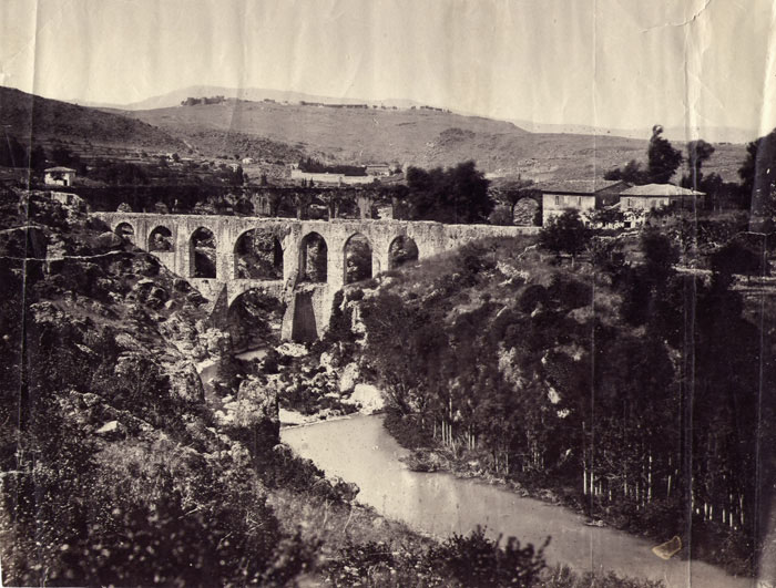 |
The same aqueduct from the Brian de Jongh collection.
 |