 |
  |
  |
  |
  |
  |
  |
  |
  |
  |
  |
  |
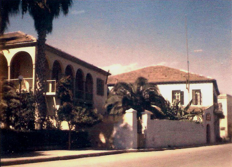
The former Nacar house / Chachaty House, that was built in 1905, map position no: 18
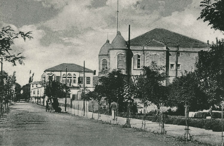
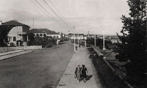
Kışla Caddesi, map position no: 13. Immediately to the right of the crossroads in the foreground but not visible on this image was the Toroğlu Evi.
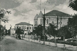
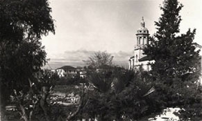
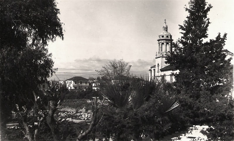
Imposing view of the Syrian Orthodox church taken from the pavilion inside the Aile Bahçesi, map position no: 15
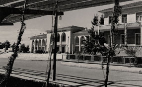
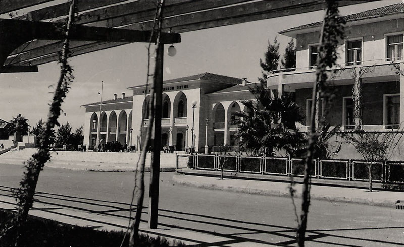
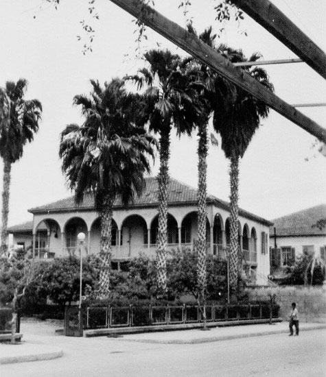
The very impressive ‘Halk Evi’ [community centre], map position no: 16
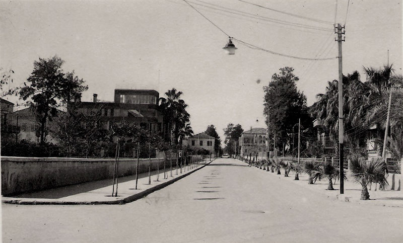
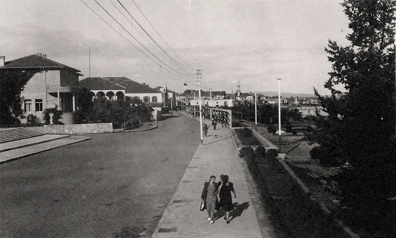
Mersin main sea front road (1950s), looking East down road, map position no: 13. The large building to the extreme left of the image is the Vali Konağı, once home of my ilkokul friend Yalçın.
One of the Rickards Houses, map position no: 13
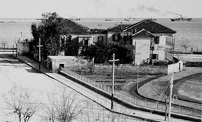
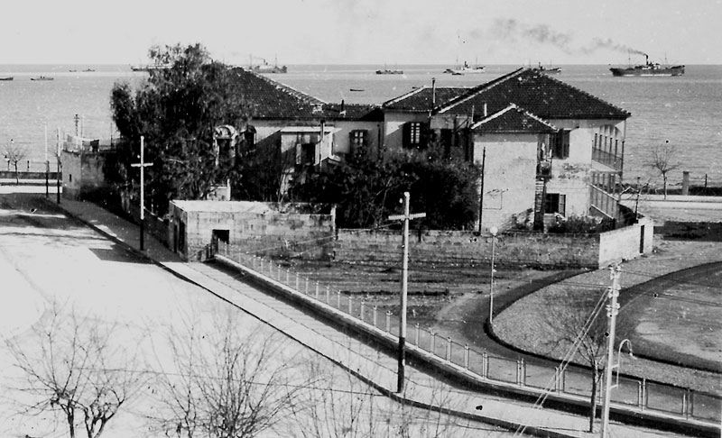
Close up view of the two Rickards houses, map position no: 13
The Rickards houses viewed from their rear, map position no: 13
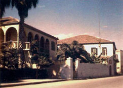
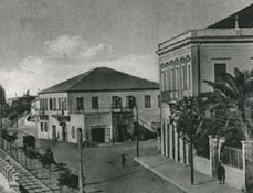
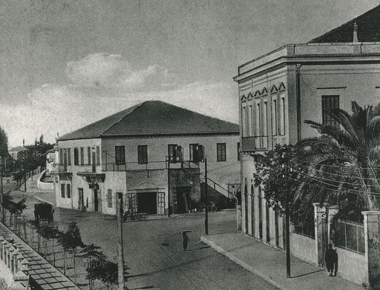
The big building on the right is the former Christmann House, during much of the Republican period it was known as the Tahinci House, will correspond to map position no: 13
This image of the former Tahinci house on the right, will correspond to map position no: 12
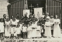
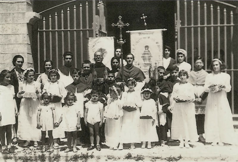
Outside the massive steel gates of the Cathedral like Catholic church circa 1940, map position no: 2
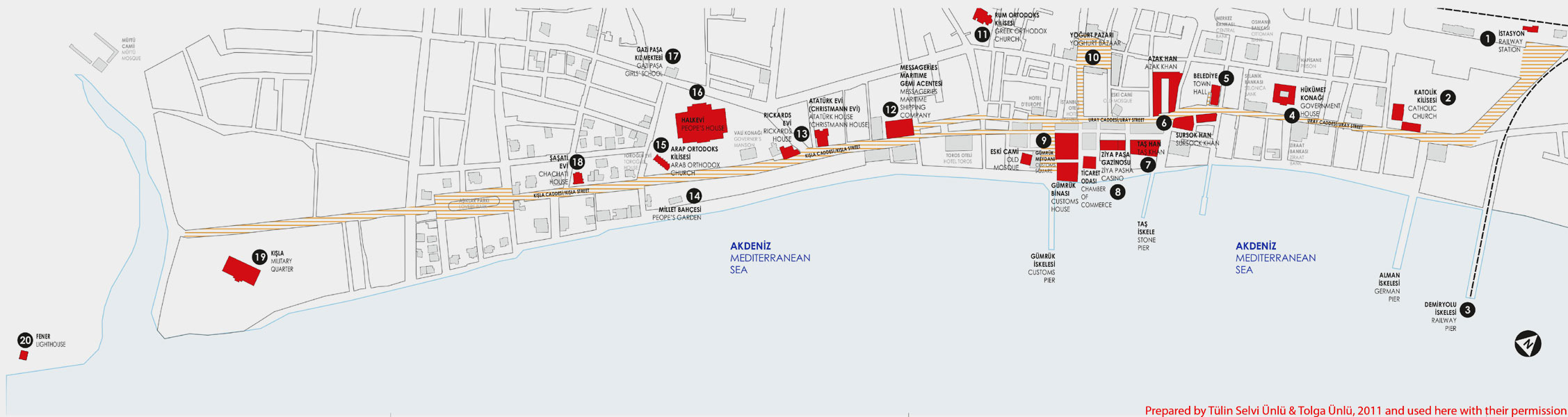
Map prepared by Tülin Selvi Ünlü & Tolga Ünlü, 2011 and used here with their permission. Images and information around them courtesy of Patrick Grigsby. Images roughly aligned to follow the building distribution across the city - fuller archive city views gallery.