 |
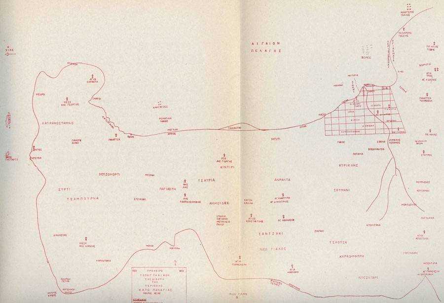
An old Greek map showing the distribution of the Orthodox churches in the Kato Panagia (Ciftlik Köy) peninsula region. Map source: 50-year anniversary of the Uprooting, 1922-1972, by the Union of Kato Panagia - click for larger size.
 |
 |
 |
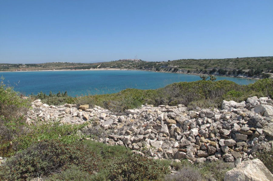 |
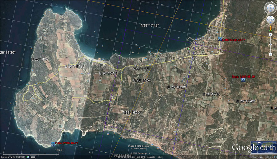
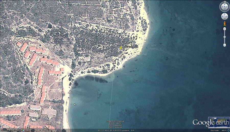
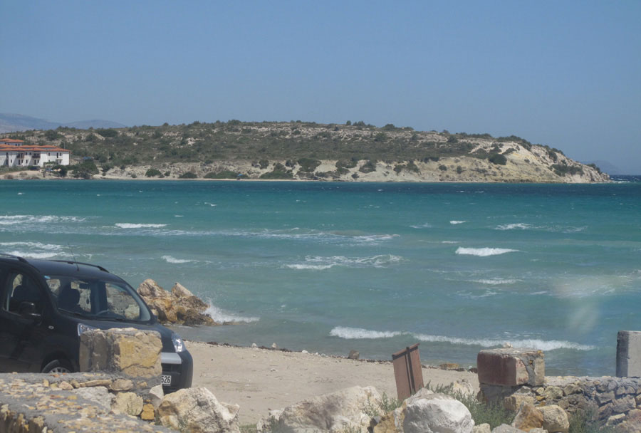
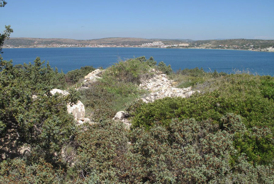
Views of the remains of the Agio Saranda Orthodox chapel of Kato Panaghia (Çiftlik Köy)
 |
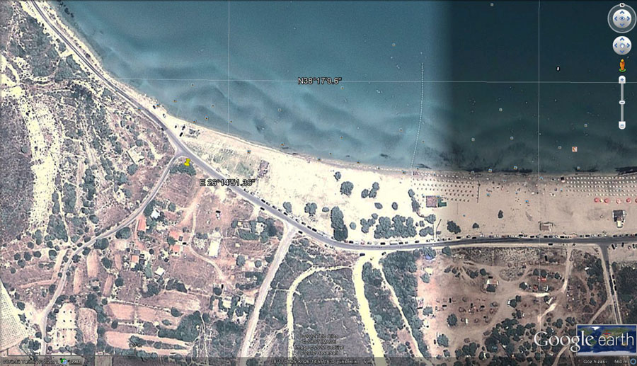 |
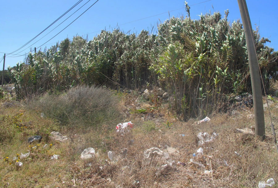
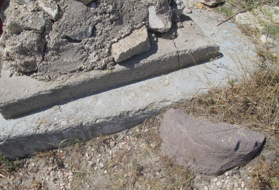
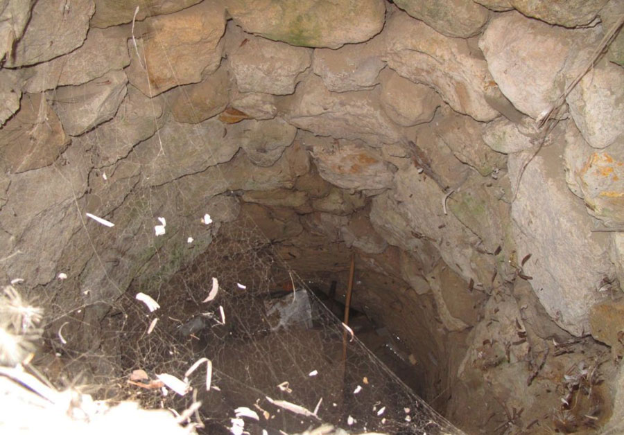
Position of Panagitsa chapel, Kato Panaghia (Çiftlik Köy) - Almost nothing is left of the building except the foundations and its well.
 |
 |
 |